





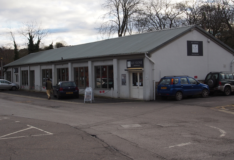
 A planning application has been lodged with Wiltshire Council for the redevelopment of the building known as The Old Saleroom, Crooks Yard in Hilliers Yard. The existing building was formerly the Marlborough Auction Rooms and is now occupied by the Kit Stone kitchen design showrooms.
The site lies between the Hilliers Yard (or Waitrose) car park and the Polly Gardens car park. When it was last on the market the freehold was available for offers in excess of £400,000.
This application is a resubmission of a scheme that was granted planning permission in March 2010 and that consent has now expired. It is thought that funding for this scheme became unavailable due to the global economic crash.
These designs were first submitted and granted planning consent in 2008, but it was then found that the proposed building included land which was “outside the applicant’s control”.
Once alterations were made to avoid using this land and it was resubmitted in 2010, Marlborough Town Council had no objection to the development and Wiltshire Council granted planning consent subject to the usual conditions.
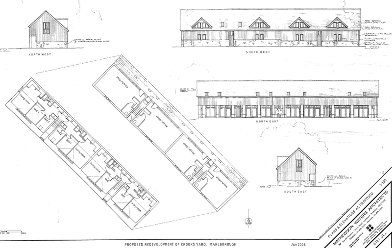 The development will see the present building torn down to be replaced by a two storey structure containing four shop or office spaces on the ground floor and four apartments on the upper floor. Two of the apartments will have two bedrooms and two will have one bedroom.
The shop or office units will vary in size between 36.5 sq metres and 48.7 sq metres. Dividing the area into four units and allowing access to the upper floor has reduced the total available shop/office space from 280 to 200 sq metres.
The building runs up to the bank of the River Kennet. According to the Environment Agency’s mapping, it is not within the current ‘Extreme Flood Outline’ and has a less than 0.1 per cent (or one in one thousand) chance of flooding in any year from the river.
It is thought that Crooks yard was named after John Crook who was involved in the town’s cotton trade in the second half of the eighteenth century.
The full planning application documents can be found here – enter 14/11905/FUL.
 |
 |


