


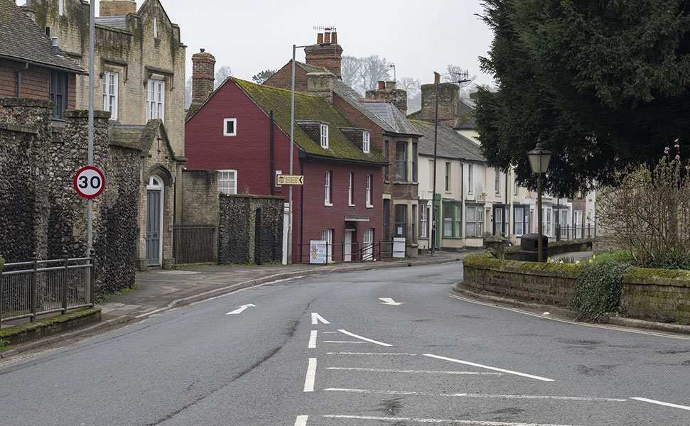
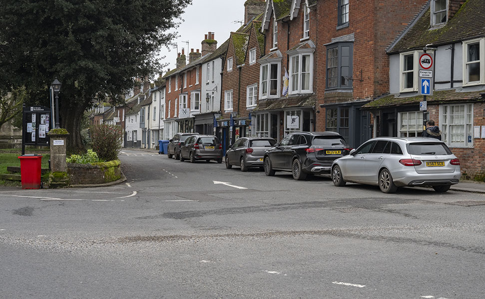
Wiltshire Council recently imposed a 20mph speed limit across much of central Marlborough recently. These measures came into effect on Monday 16 February. But where does this actually cover? The limit is still 30mph on the 100m of High Street by St Peters. Or is it? Cllr Caroline Sadler raised this question at Monday’s meeting (Monday 9 March) of the Town Council Planning Committee.
The wording in the Wiltshire Council notice states: High Street (western leg), Marlborough – the complete length.
Apparently this relates to the narrow stretch above St Peter’s – still the ‘High Street’ – but the length that goes from The Marlborough pub on the corner with Hyde Lane down to Crosby & Lawrence and the new Bunce’s Bakery on the corner with Bridewell St. This used to be 30mph(!), but any driver attempting to do more than 10-15mph along this narrow stretch would be driving far too fast. 20mph? Sure, but enforcement there will never happen.
But it is the stretch of road on the other side of St Peter’s. Below is a map showing what was (previously) 20mph limited (green) and new (red):

The westbound carriageway of the High Street has been 20mph limited for some time, as it has all the way back to the Salisbury Rd / London Rd junction. So why make this small stretch of the same road a different limit? Is it encourage drivers to speed up as they get to the western end of the High Street and go past St Peter’s on the way to the mini roundabout? And this short stretch being narrow as well. Makes little obvious sense.
There was a change to an adjacent part of the same carriageway on the High Street. a length of 25 metres (opposite the end of Hyde Lane) was changed from 30mph to 20mph, just outside The Food Gallery. So why not the extra 100m?
The Town Clerk noted in response, acknowledging this ‘inconsistency’ saying that ‘A highways improvement request had been supported by the Town Council to correct this.’
 Glorious, golden and groovy for World Book Day at Ogbourne CofE Primary School