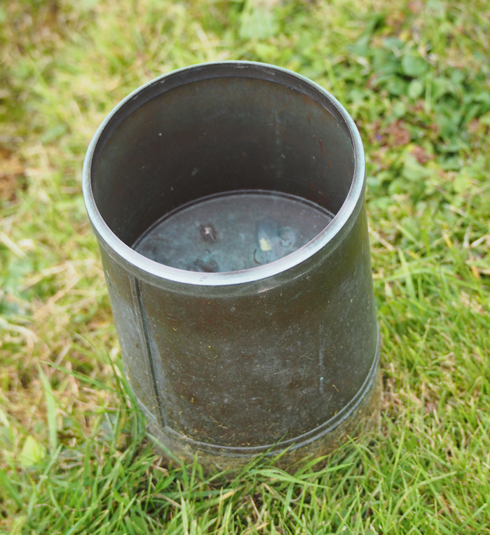
This precipitation did include a minimal figure for the two occasions, January 14 and 31, when small amounts of snow fell. But snow and rain came in the same 24-hours on January 14, making it the wettest day with a total of 16.2mm.
It was a month when the mean temperature was close to the 31-year average, but which included a record January maximum of 14.1C on January 9 and a minimum of minus-6.6C in the early morning of January 23. There were 11 days, mainly towards the second half of the month, when an air frost occurred – that’s close to the average.
To put the month’s extremes into context, the coldest January I have recorded since 1984 when the station started, was in 1987 with a mean 4C below the long-term average. In contrast January 2007 was 2.5C above the long-term average.
There were several days when we experienced strong winds with nine days when maximum gusts were above 30mph. The strongest gust measuring 48mph was on January 9.
It was a month when solar radiation totalled 95 hours, which is 30 per cent above average over the last six years. The direct sunshine of 61.3 hours produced an average of almost two hours per day. (Solar radiation is important because it measures the total radiation from both sunshine and from the sky – and added together they power solar panels.)
It is interesting to note the trend for the diurnal range of temperatures: the difference between maximum and minimum on a daily basis is getting increasingly wider. In the 1980’s the greatest difference was around 11C, it has now increased to 13C over the last few years.


